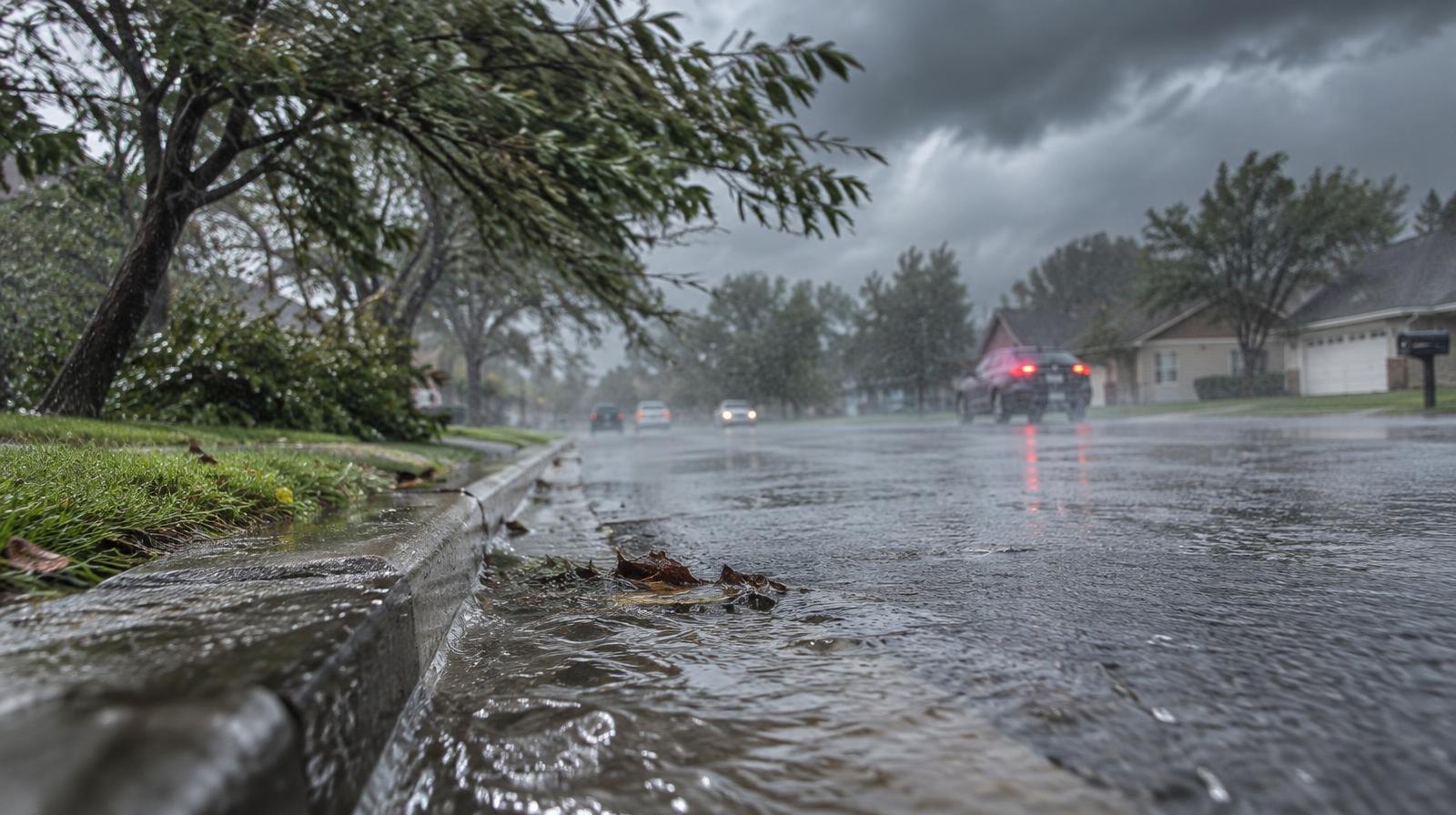
Tropical Storm Isaias could drop 1 to 3 inches of rain on Spring Hill and Thompson's Station on Saturday, Oct. 10, with wind gusts up to 40 mph.
The National Weather Service (NWS) in Nashville posted guidance Wednesday, Oct. 7, warning that the heaviest rain will fall Saturday and Saturday night as the storm's remnants push through Middle Tennessee. The forecast could change quickly. The agency urged residents to monitor updates.
Isaias (pronounced ees-ah-EE-ahs) formed in the Gulf of Mexico early Wednesday and became the ninth named storm of the 2026 Atlantic hurricane season, according to the National Hurricane Center (NHC). As of 1 p.m. CDT Wednesday, the storm had maximum sustained winds of 50 mph and sat about 520 miles south-southwest of the mouth of the Mississippi River.
Forecasters expect Isaias to strengthen into a Category 1 hurricane by Thursday, Oct. 8, and possibly a Category 2 with sustained winds up to 110 mph by Friday, Oct. 9, before making landfall along the northern Gulf Coast, according to a Nashville Tennessean report. The NHC issued a Hurricane Watch from Bay St. Louis, Mississippi, to Indian Pass, Florida.
By the time the system reaches Middle Tennessee, it will have weakened. The NWS Nashville said in its Wednesday morning forecast discussion that it does not expect significant impacts to the region, describing the expected effects as beneficial rainfall and breezy winds. The agency said it would watch forecast changes closely over the next several days.
Still, the NHC warned that flash and urban flooding, along with isolated river flooding, remain possible across the Southeast as far north as the Tennessee Valley. Some areas could see localized totals up to 5 inches.
"It's definitely time to look at your hurricane plan and put whatever you need into action," NHC forecaster Eric Blake said Wednesday, as reported by the Associated Press.
The rain could ease dry conditions across the region. All of Middle Tennessee is experiencing moderate drought, according to the U.S. Drought Monitor. Nashville's precipitation totals are more than 10 inches below normal for 2026, the NWS told the Nashville Tennessean. The agency said the incoming rain, arriving Saturday into Sunday, Oct. 11, should provide a good soaking before drier, warmer weather returns early the following week.
No Spring Hill or Thompson's Station emergency management advisories specific to Isaias had been issued as of Wednesday afternoon. Residents can monitor conditions through the NWS Nashville website at weather.gov/ohx and local emergency management channels.